
Talladega National Forest
When: April 2025
Trip Length: 2 days
Distance Covered: 21mi
Trail Type: Loop
Permit: None

The Pin-Chin-Sky loop is a ~21 mile backpacking loop in Alabama’s Talladega National Forest. The trail combines portions of 3 separate trails to form a loop: the Pinhoti Trail, Chinnabee Silent Trail, & Skyway Trail.
We started our 2 day hike from the Turnipseed Campground where we left our trailer and began heading clockwise along the loop via the Chinnabee Silent Trail (Chin) to get the portion with the most elevation out of the way while it was cooler in the morning. From here, the trail enters the Cheaha Wilderness and winds through towering trees along a soft, pine needle carpeted floor which led us to our first of many creek crossings on the loop. This first crossing had a nice campsite right next to the creek, a great spot to stay if you want to avoid the campground and need a water source. The crossing was easily doable without getting our feet wet.


After the creek crossing there’s a ~1000′ ascent over 2 miles to connect to the Pinhoti Trail (Pin) up on the ridgeline. There are a ton of rocks/boulders to climb over in this segment, and we ended up slightly off trail a few times when it became hard to follow the trail through the rock gardens. There weren’t any blazes that we could see in this section but we were always able to find the trail quickly after losing it without pulling out the map.


Right before the Pin/Chin junction is a creek with a nice flow. We took a break here after the tough ascent and continued to the start of the “Pin” section of the loop. At the junction of the trails there is a nice campsite close to the creek. There are tons of campsites here on this section of the Pinhoti. The first overlook we came to has a nice view, although is a bit obstructed by trees. The second overlook is great- wide open views of the national forest. One of our favorite campsites was at the second overlook and if not having water immediately nearby isn’t an issue it’s probably one of the best campsites on the loop. We took a lengthy break here snapping pics and enjoying the view. Looking off to the left from the overlook you can see the white quartz of the third overlook in the distance, which has another great view as well.


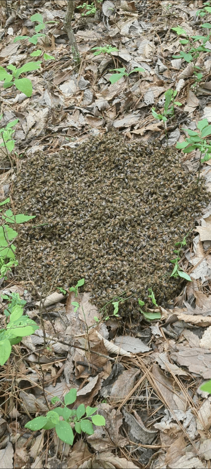
There were a few times we ended up confused and followed spur trails leading to campsites rather than the trail. Blue blazes painted on trees mark the trail in some spots but many are faded and hard to spot unless you’re specifically looking for a blaze. A few more up/downs and we started the descent from the trails high point and took lunch on a flat boulder near a geocache (GC3H49G) along the trail on the way down. After lunch we continued down the Pinhoti, getting away from the rock gardens and onto a more steady trail. Lia spotted a huge group of bees on the ground and we found some snakes as well. The blooms were great in this section, some of the best on the trail. After a few miles of “green tunnel” with several small crick crossings, many just a trickle, we arrived at the Adams Gap Trailhead.




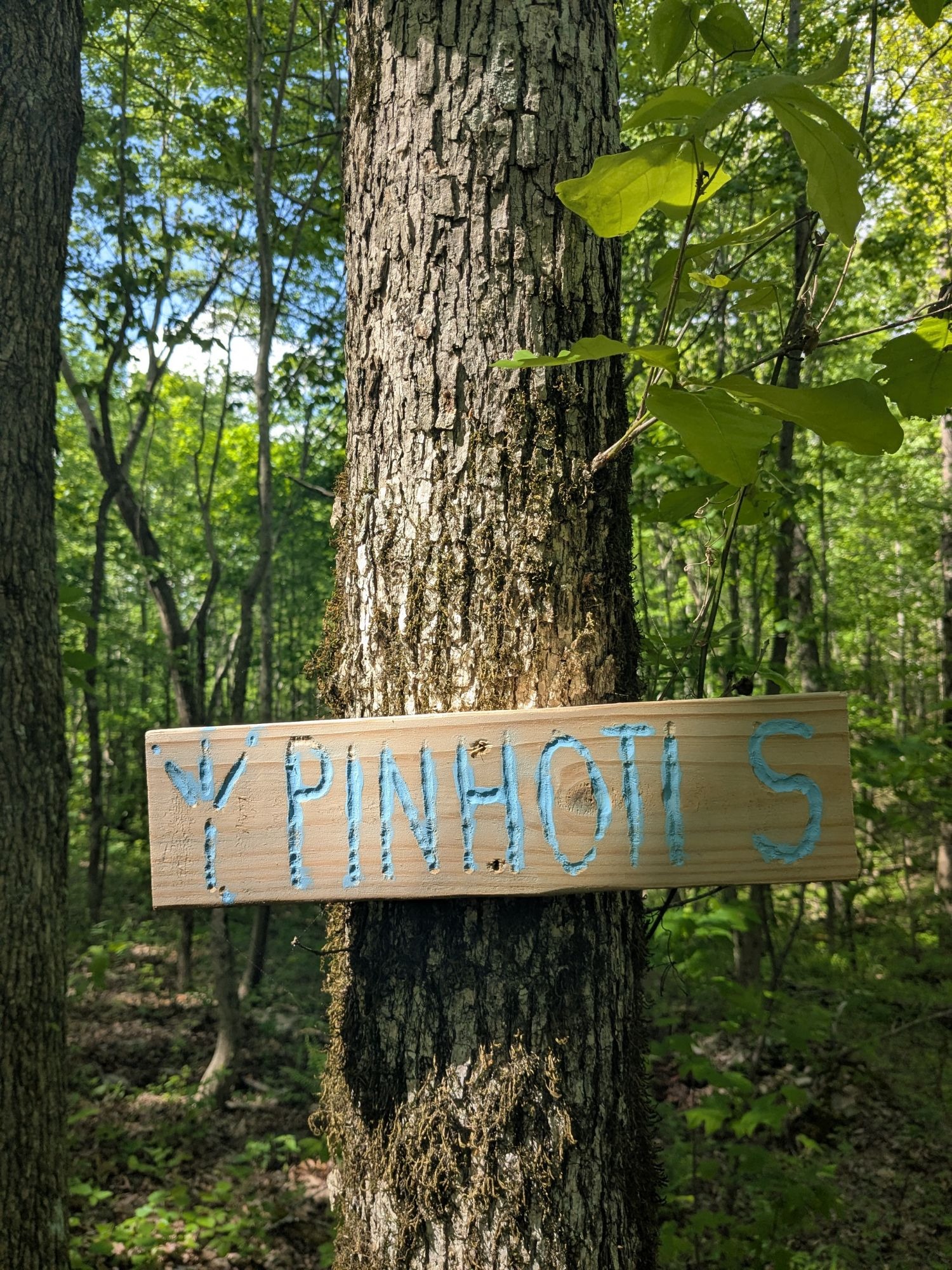
We took another snack break at the Adams Gap Trailhead along the road. A trail angel had left 3 gallons of water tied to the trailhead sign and we ended up refilling a few bottles with the cache, leaving a thank you note before we continued on the Skyway Trail. The first half of the Skyway Trail follows a creek with good flow; there are probably a dozen campsites along the first half of the trail compared to only one or two in the second half. This section of the trail is great: the sound of water flowing, plenty of campsites, and easy creek crossings for a few miles. Eventually we came to the junction of the creek we had been following and a slightly larger creek (Barbaree Creek) and ended up taking a snack break at a nearby campsite. We followed the larger creek for a bit, eventually crossing and started to climb out of the valley. The campsite at the end of the creekside section of trail was my favorite on the Skyway portion of the trail with large boulders lining the creek and huge clearing with room for several tents. Our goal for today was Devil’s Den Falls so we continued along the trail hoping to make it by sunset.
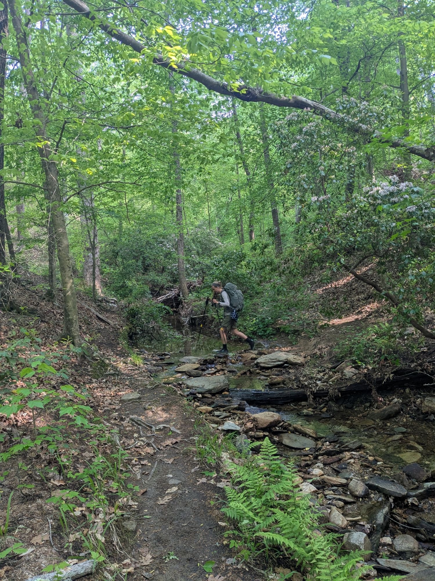
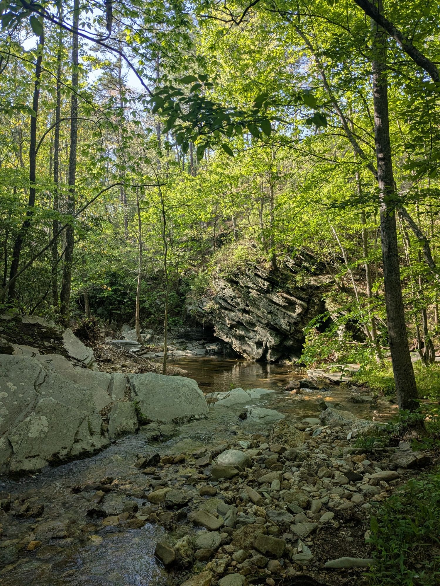
After crossing the creek the climbs begin again. I was hoping as a reflection of the name the trail would have some wide open views like the overlooks along the Pinhoti but it’s more of a thinning of the overhead canopy with slight views of the mountains through the trees. There are a few service roads the trail crosses that don’t look like they’ve seen traffic in a while with several fallen trees and even a rock fire pit in the middle of one. We had a few small trickles every so often in the valleys the trail traverses and we stopped at one point to filter some water and take a short break. After a few miles feeling high and dry compared to the beginning of the trail, we heard flowing water again at the Hubbard Creek crossing where we debated calling it a night and staying at the creekside campsite but stayed determined to our goal of reaching Devil’s Den Falls by sunset. We found a small-mouth salamander in one of the small creek crossings right before the largest water crossing of the loop- Cheaha Creek. By this time the sun had set and it was starting to get dark. We spent a few minutes looking for a crossing that didn’t require getting our feet wet to no avail before I swapped out the trail runners for Tevas and made the journey across twice- once with my pack and once with Lia on my back so she could stay dry. After crossing we donned our headlamps just to realize I had forgotten to charge my headlamp… and my flashlight. Lia led us along with her headlamp and I used my cell phone light as we made our way towards the roaring sound of Devil’s Den Falls. Immediately after crossing the creek we had a tough time finding the trail in the dark. We ended up on what was either a social trail or game trail before linking back up with the Chinnabee Silent Trail. We had missed the official junction of the trails but we were heading in the right direction. This section of the trail seems to be a very popular day hike as the trail has nicely maintained wooden stairs and bridges. It was twilight by the time we reached the falls and our obsession with hitting our goal left us scrambling for somewhere to camp. Luckily, we were able to find a flat enough spot on a gravel bar along the creek right next to the falls. I enjoyed our campsite with its proximity to the falls and roaring white noise but with the amount of traffic this area sees I wouldn’t want to camp where we did if we had gotten there any earlier. We made a quick dinner of noodle packets and chicken pouches on the butane stove before calling it a night. Our pads held up well on the gravel and we slept comfortably with our constant natural white noise. Our total distance for the day according to my Garmin watch was 17.7 miles over 10.5 hours with >2800′ elevation gain.


Woke up around 7am on day two and immediately took a swim in the large pool of Devil’s Den Falls. There is a ~10′ cliff jump opportunity just to the left of the log in the picture attached- highly recommend. Packed up camp, had our breakfast of powdered milk and raisin bran, and threw on our packs just as the first day hikers were arriving around 9am. After climbing back up to the trail we continued along as the trail follows the creek for a bit before dipping back into the woods. We did see a few campsites just after Devil’s Den Falls right along the trail in a more private spot, but I’m still glad we were able to make our spot work out. This area must have had a recent burn as all the underbrush was more scarce and the tree trunks black, it was surreal hiking through and seeing the contrast of the green and black landscape. We continued for a bit before crossing another service road and eventually coming to a backpacker shelter similar to those on longer distance trails like the AT, the only one on the loop. I had heard about the shelter online when researching this trail but had no idea where it was, it’s just before Cheaha Falls when hiking the loop clockwise. The view from the shelter was great, definitely the best on the northern half of the loop. Spent a half hour taking in the view and reading the shelter logbook. The shelter itself is in good condition and seems to get some regular use by the look of the new log. There is a picnic table with new wood as well as a fire pit just in front of the shelter. We had a large group of ~10 day hikers come up to the shelter for lunch as we were getting ready to continue towards our next set of falls. We hadn’t seen a single other hiker the day before; it was nice talking to people and seeing the trail get some use here on day 2.


We left the shelter and continued down towards the falls where we came to another crossing of the Cheaha Creek. I walked through in my trail runners but it’s apparently not necessary as Lia was able to rock-hop across without getting wet. We ran into a third and fourth group of day hikers at Cheaha Falls, although this early in the day we were the only ones swimming in the pool below the falls. Cheaha Falls has a smaller pool than Devil’s Den but the falls are super beautiful and we spent about an hour swimming and climbing around. Unlike Devil’s Den Falls, Cheaha Falls pool is a few minute hike off the loop trail. We had our fill of the falls at this point and continued down the much wider and well packed trail to finish the loop out. We came to a few more small creek crossings that we were able to hop across and a gravel road before reaching the paved AL-281 where the trailhead for the Chinnabee Silent Trail is located. A sign at the trailhead let us know that we were in the final 1/8th mile of our hike. A few more twists and turns through the woods and we could see our trailer through the towering trees, just in time for lunch. After yesterdays unexpectedly long day and todays trek we were beat and ready to rest. At the end of our second day the Garmin read 4.6 miles with >700′ elevation gain.


April was a great time of year to hike this trail. There were a ton of plants flowering, notably the mountain laurel. We had a few days of rain before we started this loop and water was abundant along the trail. The weather was warm with a high around 80° both days. We had forecasted thunderstorms the day we started the loop but ended up lucking out with only overcast skies which we enjoyed. There are a ton of wild blueberries growing along the trail, although we were a little too early for those. There was plenty of poison ivy to look out for along the trail, but we didn’t have a problem with the ivy or ticks on our 2 day trip around Talladega National Forest.
I highly recommend this loop hike; I believe it’s a great way to experience the backcountry of the state and offers a bit of everything: flora, fauna, peaceful walks in the woods, spanning views, & beautiful waterfalls. If I were to do this loop again I would probably break it up into more even milage days with an overnight either in the Cheaha Falls Shelter, one of the creekside sites along the Skyway Trail, or near one of the overlooks along the Pinhoti.
| Gear List Backpack: Osprey Atmos AG 50L Men’s Backpacking Backpack Tent: NEMO Equipment Aurora Backpacking Tent & Footprint Sleeping Pad: Sea to Summit Ether Light XT Extra-Thick Insulated Sleeping Pad Sleeping Bag: Sea to Summit Boab Synthetic Sleeping Bag Pillow: REI Campwell Camp Pillow Trekking Poles: Cascade Mountain Tech Lightweight Aluminum Trekking Poles Chair: NEMO Equipment Moonlite Reclining Camp Chair Water Filter: Sawyer Mini Water Filter Bag: Cnoc 2l Water Container Headlamp: Paria Outdoor Comet Rechargeable Headlamp Stove: MSR Pocketrocket 2 Cooking Pot: Sea to Summit Frontier Ultralight Camping Cooking Pot Trowel: Sea to Summit Collapsible Pocket Trowel First Aid Kit: NOLS Med Kit 4.0 GPS Watch: Garmin Instinct 2 Solar Camera: Google Pixel 6a *Affiliate links |

Leave a Reply